IPSI is collaborating with the Indian Institute of Public Health Gandhinagar (IIPHG) and State Health Systems Resource Centre, Gujarat (SHSRC-G) for demonstration work in Bhavnagar district, which is selected based on discussions with the state government.
District profile: Bhavnagar
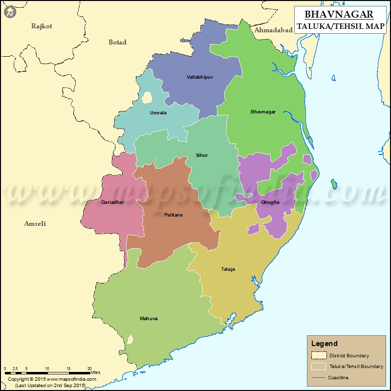
Bhavnagar district is situated in the east of Saurashtra Region of Gujarat State, spread over an area of 7034 sq. km. The district population is 24,10,211, with a population density 289 per sq.km. (Census 2011). Around 40% of the district population resides in urban areas. The largest city is Bhavnagar which is governed by a municipal corporation. In addition, there are 6 municipalities under the urban area. There are 11 blocks (talukas) and 699 villages in the district. The literacy rate is 70.57% (Census 2011).
Public health facilities in the district
| Type of facility | Total no. of facilities |
| Medical college | 1 |
| Urban area- Corporation (1) | |
| Urban community health centre (UCHC) | 3 |
| Urban Primary Health Centre-HWC | 14 |
| Urban area- Nagarpalika (10) | |
| Urban community health centre | 4 |
| Urban Primary Health Centre-HWC | 6 |
| Rural area | |
| Sub-district hospitals | 2 |
| Community health centres | 13 |
| Primary Health Centre-HWC (PHC) | 48 |
| Sub-Health Centre (SHC) | 300 (including 48 co-located SHCs) |
Source: NHM Gujarat website (https://nhm.gujarat.gov.in/details-health-facilities.htm)
Health profile of the state and district
Gujarat state: https://rchiips.org/nfhs/NFHS-5_FCTS/Gujarat.pdf
Bhavnagar district: https://rchiips.org/nfhs/NFHS-5_FCTS/GJ/Bhavnagar.pdf
State partners
Indian Institute of Public Health Gandhinagar (IIPHG)
State Health Systems Resource Centre, Gujarat (SHSRC, Gujarat)