IPSI is collaborating with Jhpiego for demonstration work in Muzaffarpur district, which is selected based on discussions with the state government.
District profile
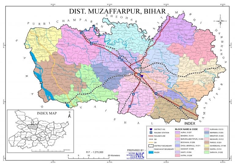
Muzaffarpur
Muzaffarpur district is situated in the Tirhut region of Bihar. The district spreads over an area of 3122.56 Sq Km. Muzaffarpur has a population of 48,01,062, of which males and females are 2,527,497 and 2,273,565, respectively. (Census 2011). There are two sub-divisions, 16 blocks, 385 panchayats and 1,811 villages in the district. (source: Muzaffarpur.nic.in). The average literacy rate of the district is 80.19 %. (Census 2011). 9.86% of the total population resides in urban areas (Census 2011).
Public health facilities in the district
| Type of facility | Total no. of facilities |
| Medical College | 1 |
| Sadar Hospital | 1 |
| Community Health Centres | 14 |
| Referral Hospital | 01 |
| Primary Health Centres | 16 |
| Additional Primary Health Centres | 88 |
| Health Sub-centres | 520 |
(Source: muzaffarpur.nic.in and Rural Health Statistics, 2021-22 )
Health profile of the state and district
Bihar state: Bihar.pdf (rchiips.org)
Muzaffarpur district: Muzaffarpur.pdf (rchiips.org)
State partners: Jhpiego (https://www.jhpiego.org/)